
Method for segmenting the data of a 3D sensor produced in the presence of aerosol clouds for increasing the situational awareness and the location detection of obstacles

a technology of aerosol clouds and 3d sensors, which is applied in the field of segmenting data of 3d sensors produced in the presence of aerosol clouds, can solve the problems of reducing the situational awareness of pilots, reducing the pilot's situational awareness, and reducing the pilot's spatial orientation above the ground, so as to increase the situational awareness and the location detection of obstacles, and prevent the loss of spatial orientation

Active Publication Date: 2017-01-26
HENSOLDT SENSORS GMBH
View PDF7 Cites 19 Cited by
  • Summary
  • Abstract
  • Description
  • Claims
  • Application Information

AI Technical Summary

Benefits of technology

The invention is a method for segmenting data from a 3D sensor in the presence of aerosol clouds to improve situational awareness and location detection of obstacles. The method uses a laser sensor system and an electronic data analyzer to detect and track measurement points in the sensor data. This allows for the reliable detection of real obstacles within the aerosol cloud and improves the pilot's ability to maintain spatial orientation and prevent accidents. The method is efficient and precise, and can be used in combination with other systems for further analysis and decision-making.

Problems solved by technology

The chaotic sand and dust turbulences result in complete or partial loss of pilot vision outside the cockpit—the so-called brownout.
Other forms of aerosol clouds such as whiteouts (turbulent snow during the landing), smoke, or fog hinder the view and can also significantly restrict the situational awareness of the pilot in a hazardous manner.
Due to the absence of a view or the limited external cockpit view there is a risk of the loss of spatial orientation above the ground, in particular with respect of pitch and roll angles as well as unintended lateral drift of the landing aircraft.
Moreover, location detection of obstacles in the landing zone is severely limited.
All of this increases flying accidents.
With radar systems, however, significant problems can occur due to so-called crosstalk during the measurement of the landing area that is only a few meters away with simultaneous strongly varying pitch angles during the final landing process as well as due to echoes from side lobes.
However, laser sensors, as optical systems in contrast to radar systems, can often not fully penetrate a brownout-cloud, because the laser pulses are already reflected back to the sensor, scattered or absorbed by parts of the turbulent dust cloud.
The physical property of laser sensors makes them appear superficially as less suitable for assisting pilots during brownout landings.
During this, very large amounts of data are accumulated.
The disadvantage of this type of method is that conclusions regarding local properties of individual isolated dust measurement points are based on a very large, global database by means of the accumulation of all measurement points of multiple sensor frames.
This may result in very large computation efforts and inefficient processing time.

Method used


Image

  • Method for segmenting the data of a 3D sensor produced in the presence of aerosol clouds for increasing the situational awareness and the location detection of obstacles
  • Method for segmenting the data of a 3D sensor produced in the presence of aerosol clouds for increasing the situational awareness and the location detection of obstacles
  • Method for segmenting the data of a 3D sensor produced in the presence of aerosol clouds for increasing the situational awareness and the location detection of obstacles

Examples


Embodiment Construction

[0049]The exemplary embodiment described below is specifically focused on a helicopter landing while a brownout is occurring. Accordingly, the following description applies to all mentioned aerosol clouds as well as application cases (mobile, static use).

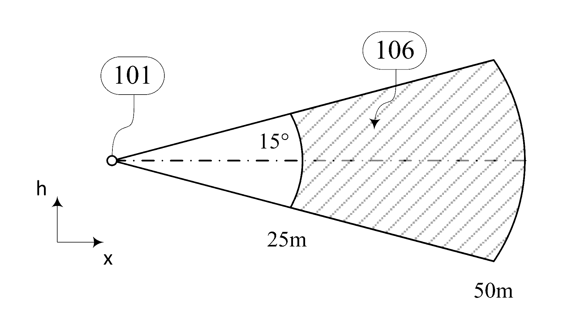
[0050]The present invention involves a method that, based on high resolution 3D laser data, is capable of detecting the turbulent dust, segments and removes the dust from the pilot's synthetic display (for example helmet visor, HUD or monitor). This method allows the user, in particular for a pilot, to practically look through the dust and thus avoid a loss of spatial orientation in the event of a brownout. Even the detection of relatively small obstacles, for example in the landing zone of a helicopter, through the brownout cloud is achievable.

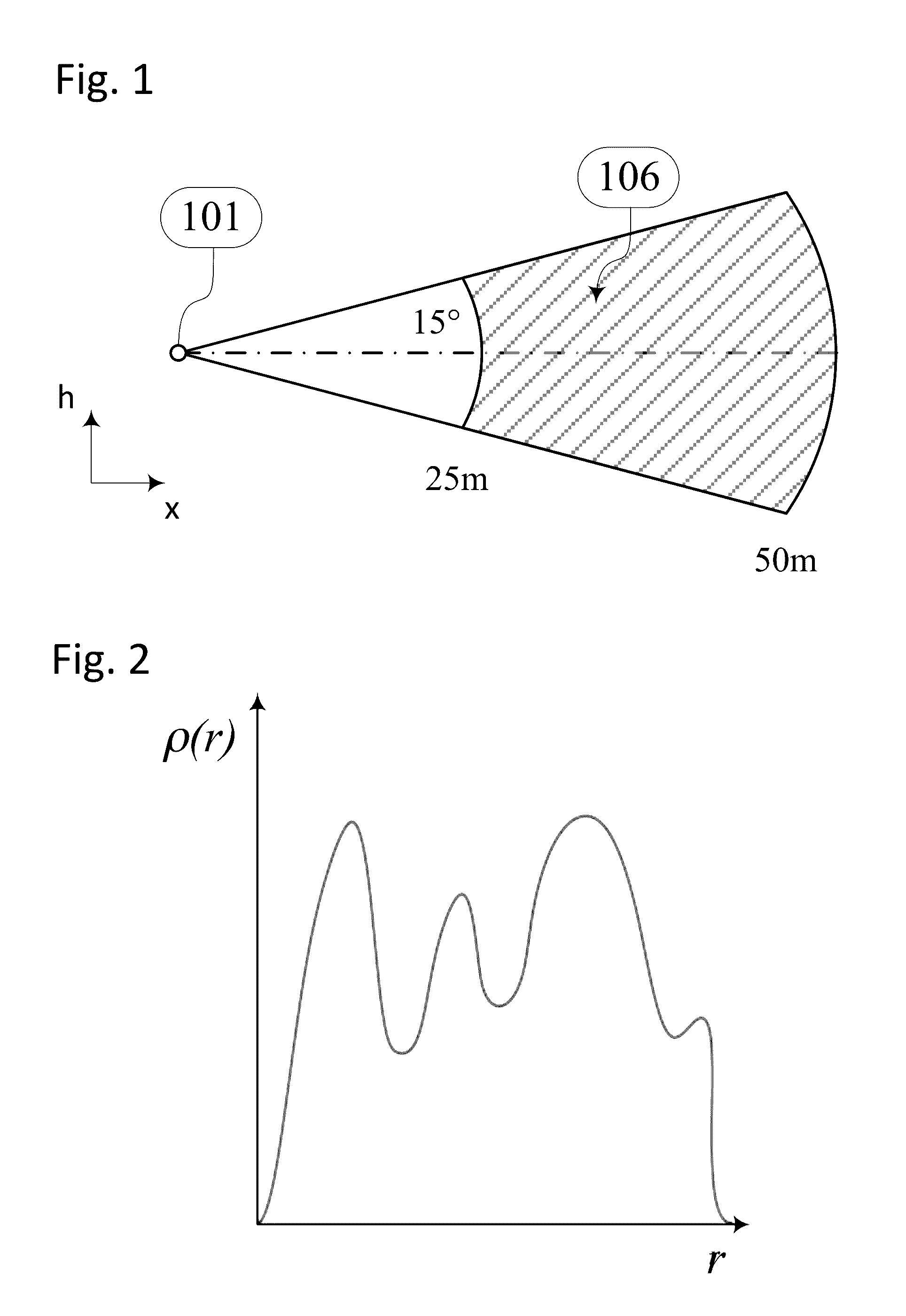
[0051]In order to be able to detect turbulent sand and dust for the purposes of the invention algorithmically, the laser sensor used should preferably scan a sufficiently large horizontal and...


PUM


Abstract

A method for segmenting the data of a 3D sensor produced in the presence of aerosol clouds and for increasing the situation awareness and the location detection of obstacles involves transforming the sensor data are transformed into a 3D measurement point cloud, determining related subsets as measurement point clusters from the 3D measurement point cloud of an single measurement cycle of the 3D sensor based on the local measurement point density, determining at least one of the characteristic parameters of the individual measurement point clusters, the characteristic parameters including position, orientation in space, and shape, and determining a time variation of the characteristic parameters using the recorded parameters calculated from subsequent measurement cycles, from which the association of a measurement point cluster with a real obstacle or with the aerosol cloud results.

Description

CROSS-REFERENCE TO RELATED APPLICATIONS[0001]This application claims priority 35 USC §119 to European application 15 002 153.3, filed on Jul. 21, 2015, the entire content of which is herein expressly incorporated by reference.BACKGROUND AND SUMMARY OF THE INVENTION[0002]Exemplary embodiments of the invention are directed to a method for segmenting data of a 3D sensor produced in the presence of aerosol clouds for increasing the situational awareness and the location detection of obstacles in order to prevent a loss of the spatial orientation in the event of visual impairment due to the aerosol cloud.[0003]In arid, desert-like areas, such as for example Afghanistan, Iraq or Syria, a strong turbulence of sand and dust particles, a form of aerosol cloud, often occurs during remote landings of rotary wing aircraft, such as for example helicopters. The effect is caused by the so-called downwash of the main rotor or the rotors of the aircraft. The chaotic sand and dust turbulences result ...

Claims


Application Information

Patent Timeline
IPC IPC(8): G01N21/53B64C27/04B64D45/08G01S17/933G01S17/89
CPCG01N21/53B64C27/04B64D45/08G01S17/933G01S7/4876G01S17/89G06T2207/10028G06T7/70G06T7/11G06T7/143G06T7/162G06V20/64G06V10/255G06V10/267G06T7/10
Inventor WEGNER, MATTHIASMUENSTERER, THOMAS
Owner HENSOLDT SENSORS GMBH
Learn More