Ground point cloud segmentation method based on three-dimensional laser radar

A three-dimensional laser, ground point technology, applied in image analysis, image data processing, instruments, etc., can solve the problems of inaccurate data, omission, different noise interference methods, etc., to achieve accurate modeling and simulation process, improve the integrity comprehensiveness and comprehensiveness, and the effect of eliminating the interference effect of noise

Inactive Publication Date: 2018-09-28
WUHU HANGFEI SCI & TECH
View PDF11 Cites 30 Cited by
  • Summary
  • Abstract
  • Description
  • Claims
  • Application Information

AI Technical Summary

Problems solved by technology

[0006] (1) The traditional 3D laser radar lacks a corresponding positioning method when performing data scanning and acquisition, resulting in inaccurate data acquisition and prone to certain omissions;
[0007] (2) At the same time, when segmenting, because the point cloud data has a lot of noise interference, and the noise interference methods are different, a single noise reduction method cannot meet the requirements, which will affect the subsequent modeling and simulation work

Method used


Image

  • Ground point cloud segmentation method based on three-dimensional laser radar

Examples


Embodiment Construction

[0034] The following will clearly and completely describe the technical solutions in the embodiments of the present invention with reference to the accompanying drawings in the embodiments of the present invention. Obviously, the described embodiments are only some, not all, embodiments of the present invention. Based on the embodiments of the present invention, all other embodiments obtained by persons of ordinary skill in the art without making creative efforts belong to the protection scope of the present invention.

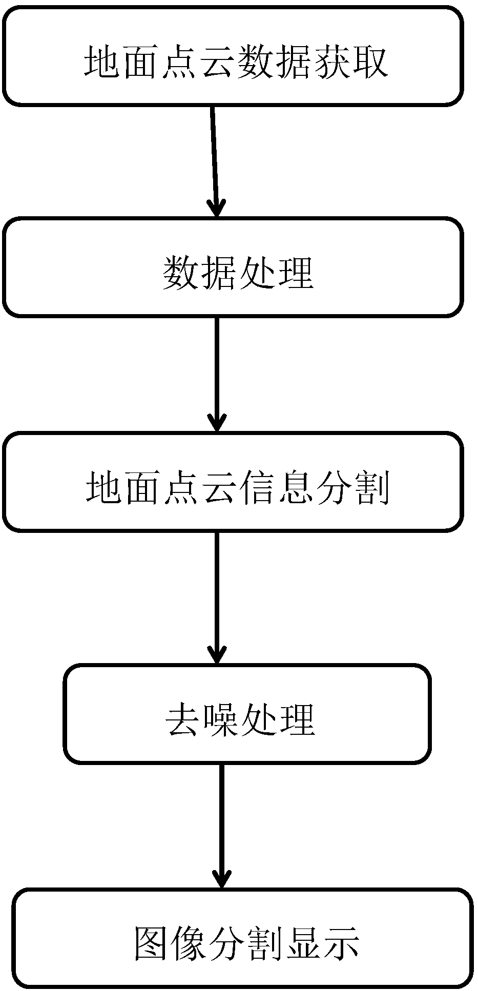
[0035] like figure 1 As shown, the present invention provides a ground point cloud segmentation method based on three-dimensional laser radar, comprising the following steps:

[0036] S100. Acquiring ground point cloud data, scanning based on ground three-dimensional laser radar to acquire spatial information data, and combining GPS to acquire ground data.

[0037] In the step S100, scan through a three-dimensional laser scanner, and quickly obtain spatial co...


PUM


Abstract

The invention discloses a ground point cloud segmentation method based on a three-dimensional laser radar. The method comprises the following steps that: S100: obtaining ground point cloud data, carrying out scanning on the basis of the ground three-dimensional laser radar to obtain spatial information data, and meanwhile, combining with a GPS (Global Positioning System) to obtain ground data; S200: carrying out data processing, establishing a rectangular coordinate system, converting the coordinate of the obtained ground data into the rectangular coordinate system, and meanwhile, adopting equal-thickness layering according to contour line and contour interval properties; S300: carrying out ground point cloud information segmentation, and classifying the ground laser point cloud information obtained by scanning; S400: carrying out denoising processing, classifying noise data, and independently carrying out noise processing on the noise data; and S500: carrying out image segmentation display, and directly extracting building elevation information through a gridding way. Through a way of combining positioning with laser scanning, more comprehensive ground point cloud data is obtained, meanwhile, the accuracy of the point cloud data is improved through the ways of classified segmentation and step-by-step denoising, and convenience is brought to subsequent modeling and simulation.

Description

technical field [0001] The invention relates to the technical field of laser radar, in particular to a ground point cloud segmentation method based on three-dimensional laser radar. Background technique [0002] Lidar is a radar system that emits laser beams to detect characteristic quantities such as the position and speed of targets. Its working principle is to send a detection signal (laser beam) to the target, and then compare the received signal (target echo) reflected from the target with the transmitted signal, and after proper processing, the relevant information of the target can be obtained, such as Target distance, azimuth, height, speed, attitude, and even shape parameters, so as to detect, track and identify aircraft, missiles and other targets. It consists of a laser transmitter, an optical receiver, a turntable and an information processing system. The laser converts electrical pulses into optical pulses and emits them. The optical receiver then restores the ...

Claims


Application Information

Patent Timeline
Patent Type & Authority Applications(China)
IPC IPC(8): G06T5/00G06T7/10G06T3/00G01S7/48
CPCG01S7/4802G06T3/0043G06T5/002G06T2207/10028G06T7/10
Inventor 芮敏敏查文
Owner WUHU HANGFEI SCI & TECH
Why Eureka
Try Eureka