
Point cloud registration method for point neighborhood scale difference description
A technology of scale difference and point cloud registration, applied in the field of computer vision, can solve the problems of complex calculation, low calculation efficiency, and high latitude of SHOT operator
Patent Information
- Authority / Receiving Office
- CN · China
- Current Assignee / Owner
- Publication Date
- 2020-04-28
Smart Images
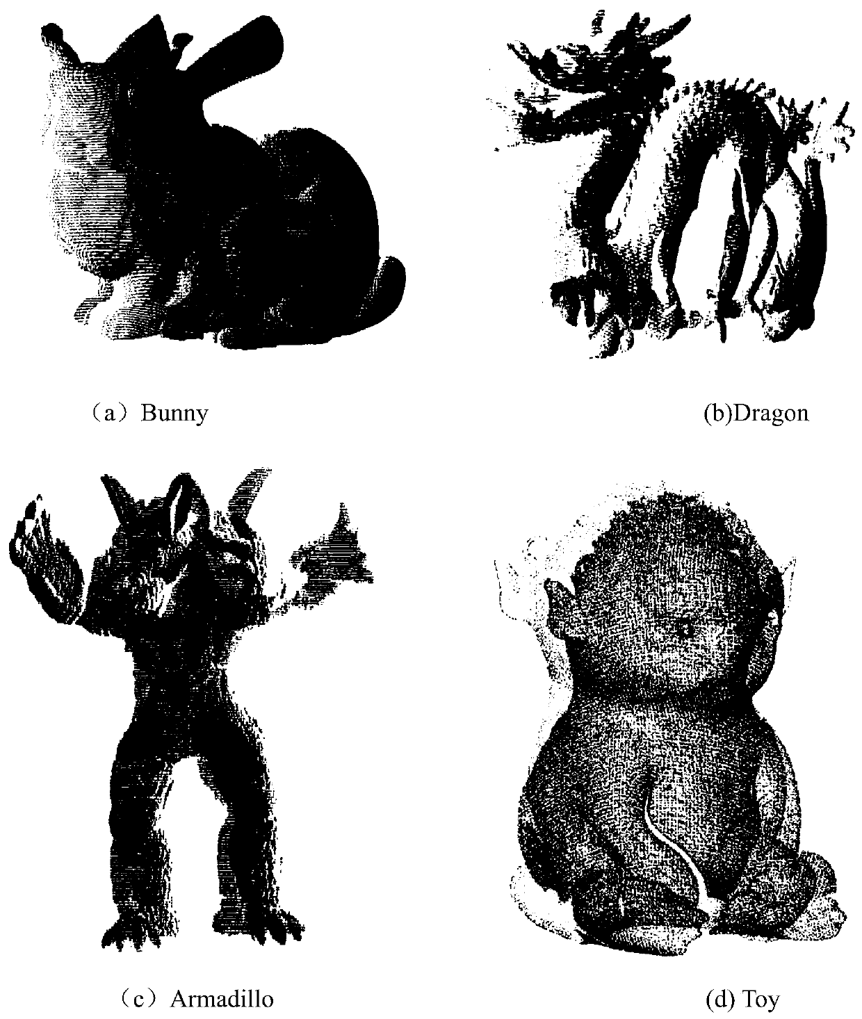
Figure 1 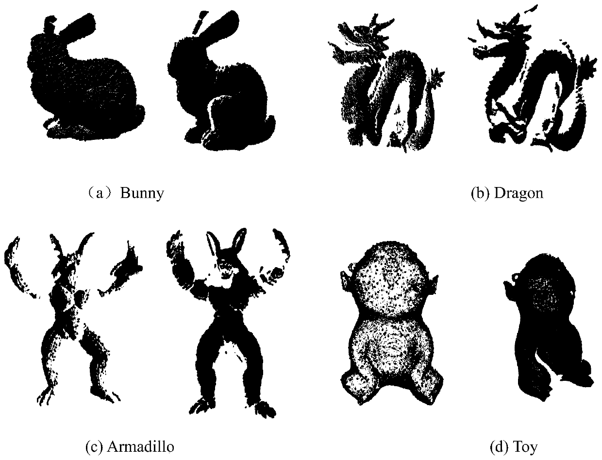
Figure 2 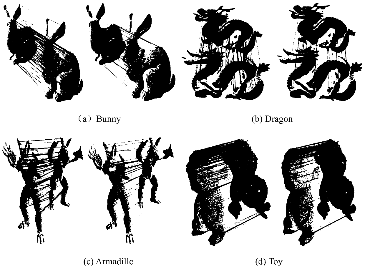
Figure 3
Abstract
Description
technical field
[0001] The invention belongs to the field of computer vision, and in particular relates to a point cloud registration method for point neighborhood scale difference description. Background technique
[0002] With the development of many new sensing technologies, the acquisition of point cloud data is becoming more and more efficient. 3D point cloud data processing technology has also developed rapidly, and has been widely used in many fields such as computer graphics, CAD modeling design, cultural relics and historic sites protection, automobile manufacturing and mold manufacturing. However, due to factors such as the external environment, the size of the object, and the limitations of the scanning device itself, the complete surface shape of the object cannot be obtained from the point cloud data of a single scan. Therefore, efficient point cloud registration algorithms are needed to stitch point cloud data acquired from different perspectives. Among the m...
Examples
Embodiment 1
[0054] The point cloud used in the present invention is obtained from the point cloud model library of Stanford University and a self-developed structured light measuring instrument. Using four sets of point cloud data of Bunny, Dragon, Armadillo and Toy, the implementation is given and illustrated with the accompanying drawings. figure 1 is the initial position of the point cloud data, and the same set of point cloud data contains point cloud data from two perspectives.
[0055] Step 1. Find key points, use the least squares method to perform surface fitting on each point of the point cloud, and obtain the local surface z=r(u,v) of the neighborhood of discrete points. After obtaining the fitted quadratic parametric surface, the Gaussian curvature K and the average curvature H of the surface can be calculated from the first type of basic quantities E, F, G and the second type of basic quantities L, M, and N of the quadratic parametric surface :
[0056]
[0057]
[005...
Embodiment 2
[0090] The purpose of the invention is to disclose a point cloud registration method described by point neighborhood scale differences. First, the least squares surface fitting is performed on the discrete points in the source point cloud and the target point cloud to obtain the local surface, and the shape index SI of the surface is obtained, which is the shape index of the discrete point. The point whose shape index is the largest or smallest in the neighborhood and meets the threshold is selected as the key point of the point cloud. Secondly, the feature descriptor is constructed, and the feature normalized vector difference and normal vector angle difference of the key point under different neighborhood radii are calculated and combined into a point domain scale difference descriptor. Finally, according to the similarity of feature descriptors, the corresponding points are found, and the double screening and the optimal search algorithm based on the global distance are use...