
Method and system for optimizing panoramic monitoring video of multiple unmanned aerial vehicles, and electronic equipment

A multi-drone, panoramic monitoring technology, applied in the field of unmanned aerial vehicles, can solve problems such as recognition of difficult shooting scenes, continuous tracking of dynamic targets, etc., to protect public life and national security, balance picture quality and real-time, and apply wide range of effects

Pending Publication Date: 2022-05-27
BEIJING INSTITUTE OF TECHNOLOGYGY
View PDF0 Cites 1 Cited by
  • Summary
  • Abstract
  • Description
  • Claims
  • Application Information

AI Technical Summary

Problems solved by technology

Traditional UAV aerial photography only uses a single UAV. Under the limitation of UAV shooting angle, camera viewing angle and other factors, it is difficult to form a comprehensive understanding of the shooting scene or to continuously track the dynamic target.

Method used


Image

  • Method and system for optimizing panoramic monitoring video of multiple unmanned aerial vehicles, and electronic equipment
  • Method and system for optimizing panoramic monitoring video of multiple unmanned aerial vehicles, and electronic equipment
  • Method and system for optimizing panoramic monitoring video of multiple unmanned aerial vehicles, and electronic equipment

Examples


experiment example 1

[0150] Three UAVs (numbered A to C) were released in Beijing Institute of Technology. The camera model of the three UAVs is ParrotBEBOP 2, the camera is 14 million pixels, and the maximum captured image resolution is 4096×3072p. When the height of the UAV reaches 3m, control three UAVs to collect three second images;

[0151] Perform stitching processing on the three second images, and determine whether the stitching result satisfies the preset image coincidence degree, where the preset image coincidence degree is that the coincidence degree of the images collected by the three drones does not exceed 20%; if the image coincidence degree is greater than 20% %, then adjust the positions of the three UAVs, specifically: fix UAV A, and adjust the positions of UAVs B and C by preset image coincidence until the second images collected by the three UAVs satisfy Preset image coincidence;

[0152] Control three drones that meet the preset image coincidence to collect three first image...


PUM


Abstract

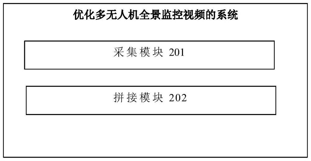
The invention discloses a method and system for optimizing a multi-unmanned aerial vehicle panoramic monitoring video and electronic equipment. The method for optimizing the multi-unmanned aerial vehicle panoramic monitoring video provided by the invention mainly comprises the following steps: controlling multiple unmanned aerial vehicles meeting a preset image overlap ratio to collect a first image; and carrying out splicing processing on the first image to obtain a multi-unmanned aerial vehicle panoramic monitoring video. The multi-unmanned aerial vehicle panoramic monitoring system is wide in application range, high in flexibility and large in application potential, splicing of images shot by different unmanned aerial vehicles can be achieved, and the multi-unmanned aerial vehicle panoramic monitoring system is configured according to actual task requirements.

Description

technical field [0001] The invention relates to the technical field of unmanned aerial vehicles, in particular to a method, system and electronic device for optimizing panoramic monitoring video of multiple unmanned aerial vehicles. Background technique [0002] The UAV has a power unit and a navigation module, and can control the flight through a remote control device or automatically fly by setting a route. The UAV aerial photography system uses the UAV as a platform to carry image or video acquisition equipment, and can obtain real-time high-resolution images and videos through wireless transmission technology. Compared with satellite remote sensing and aircraft aerial photography, UAV aerial photography has the characteristics of low cost, small size, easy operation and flexibility. It has been widely used in battlefield reconnaissance, emergency rescue and other fields, becoming a powerful supplement to satellite remote sensing. . Traditional UAV aerial photography on...

Claims


Application Information

Patent Timeline
Patent Type & Authority Applications(China)
IPC IPC(8): G05D1/10
CPCG05D1/104Y02T10/40
Inventor 王佳楠闭昌瑀于晨王春彦王丹丹
Owner BEIJING INSTITUTE OF TECHNOLOGYGY
Learn More