Emergency monitoring and early warning method for red tide disasters at coastal region of South China
A red tide and coastal technology, applied in measurement devices, measurement of scattering properties, material analysis by optical means, etc., can solve problems such as the need to improve emergency handling capabilities
- Summary
- Abstract
- Description
- Claims
- Application Information
AI Technical Summary
Problems solved by technology
Method used
Image
Examples
Embodiment 1
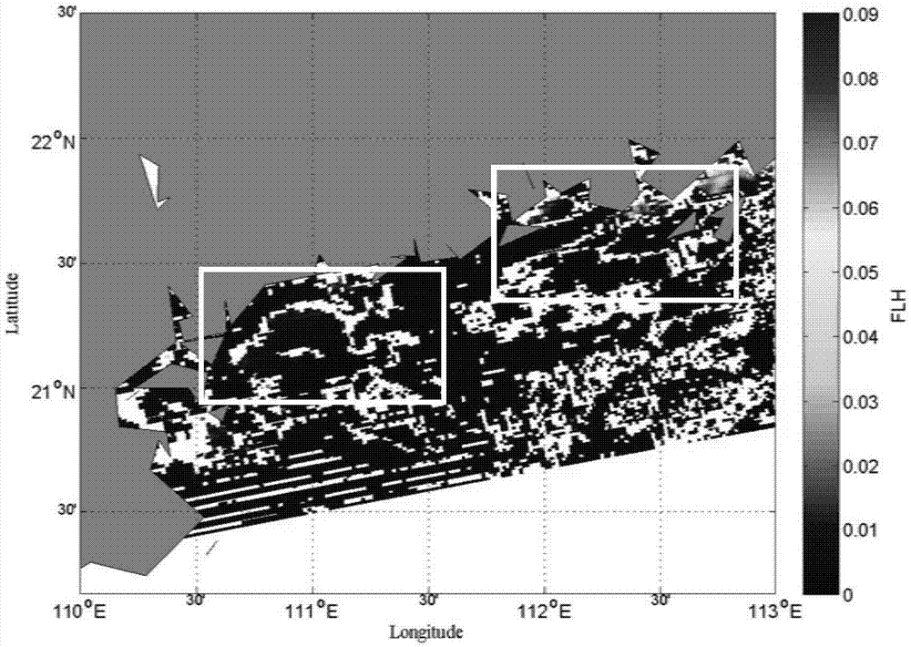
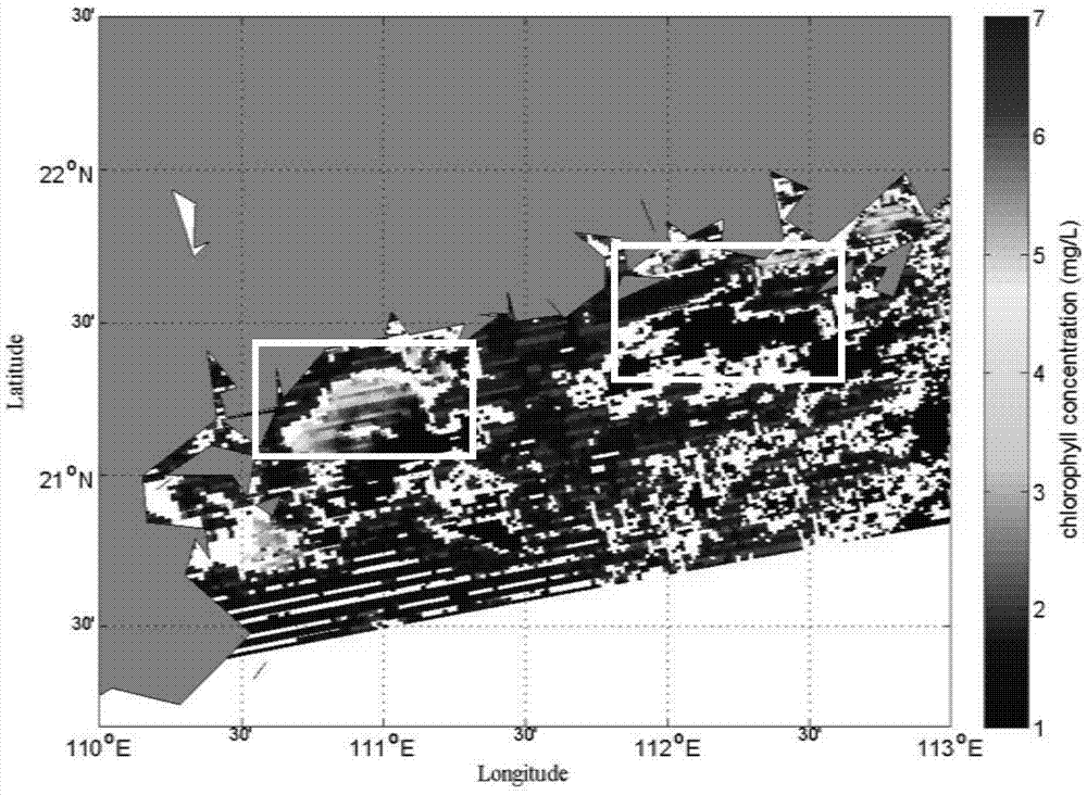
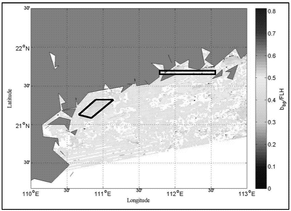
[0048] This implementation takes the red tide event that occurred in the coastal waters of western Guangdong on November 24, 2014 as an example, and uses MODISL1b data as remote sensing images to describe in detail the process of using the method to identify red tide water bodies in the South China coast. The method comprises the steps of:
[0049] A: Receive the MODISL1 data on November 24, 2011, use the calibration parameters to perform radiation calibration, geometric correction, and atmospheric correction processing; use Matlab software to convert the MODISL1b data through the hdf header file parameters, and estimate atmospheric molecules Rayleigh scattering.
[0050]
[0051] f 0 (λ) is the solar irradiance corresponding to different wavelengths outside the atmosphere, and its size varies with the distance between the sun and the earth, μ and μ 0 are the cosines of the sun’s zenith angle and the satellite’s zenith angle, α ↓ and alpha ↑ , represent the scattering p...
Embodiment 2
[0089] In this embodiment, based on the optical radiation transfer simulation software-Hydrolight, 350 sets of simulated reflectance data were generated by applying the second-class water body model, and the chlorophyll concentration data were extracted by using the reflectance data. And the accuracy of the algorithm is verified. The method comprises the steps of:
[0090] A: Use Hydrolight radiative transfer simulation software to simulate seawater albedo data with different chlorophyll concentrations.
[0091] B: Using the reflectance data obtained in step A, further adopt the 6-band algorithm to calculate the backscattering coefficient of seawater particles, the specific steps are as follows:
[0092] 412-665nm remote sensing reflectance expression r rs for:
[0093] r r s = g 1 b b a ...
Embodiment 3
[0112] This implementation takes the red tide event that occurred in the coastal waters of western Guangdong as an example, and uses the field observation data as input parameters to describe in detail the process of using the method to identify red tide water bodies in the South China coast. The method comprises the steps of:
[0113] A: Randomly select 10 observation points at an observation site off the coast of western Guangdong, collect spectral data on site, and calculate reflectance.
[0114] r r s = L w E d - - - ( 9 )
[0115] L W is the radiance away from water, E d is the incident irradiance.
[0116] The reflectance calculation results are as follows Figure 5 shown.
[0117] B: Utilize the reflectance data obt...
PUM
 Abstract
Description
Claims
Application Information
 - R&D
- Intellectual Property
- Life Sciences
- Materials
- Tech Scout
- Unparalleled Data Quality
- Higher Quality Content
- 60% Fewer Hallucinations
Browse by: Latest US Patents, China's latest patents, Technical Efficacy Thesaurus, Application Domain, Technology Topic, Popular Technical Reports.
© 2025 PatSnap. All rights reserved.Legal|Privacy policy|Modern Slavery Act Transparency Statement|Sitemap|About US| Contact US: help@patsnap.com


