Turf protection utilization method
A turf and protection level technology, applied in the field of turf protection and utilization, can solve problems such as insufficient consideration of water and soil conservation benefits, death of turf stacking, improper design, etc.
- Summary
- Abstract
- Description
- Claims
- Application Information
AI Technical Summary
Problems solved by technology
Method used
Image
Examples
Embodiment 1
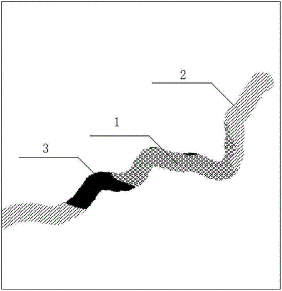
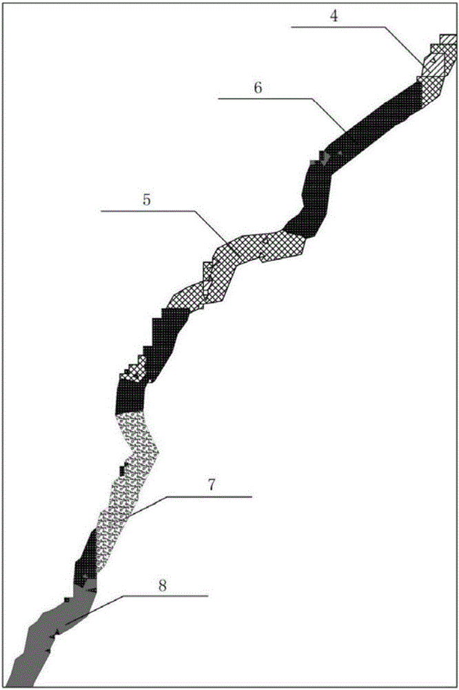
[0191] A highway is located in the alpine region of the Qinghai-Tibet Plateau, and the vegetation types along the way are mainly alpine grassland, alpine meadow, desert grassland, etc. During the construction of the highway, in order to realize the scientific planning, efficient protection and utilization of vegetation along the whole line, the inventor proposed method, as follows:
[0192] (1) Designate the protection level of turf
[0193] 1) Collect remote sensing data for basic analysis
[0194] Collect the vegetation types along the highway project and the vegetation coverage data measured by NDVI, and perform grid processing, use GIS analysis tools to extract highway vector data, and use the vector analysis tool "buffer" in GIS to extract 5km buffers on both sides of the highway area, as an assessment area for turf protection on both sides of the road;
[0195] 2) Delineate the level of turf protection
[0196] Determine the turf protection level according to the extr...
Embodiment 2
[0270] For the turf protection of this road, according to the rainfall conditions, wind and sand conditions, management methods for road surface runoff and turf propagation requirements, different forms of turf planting and sowing are used to build lawns. The specific layout is as follows:
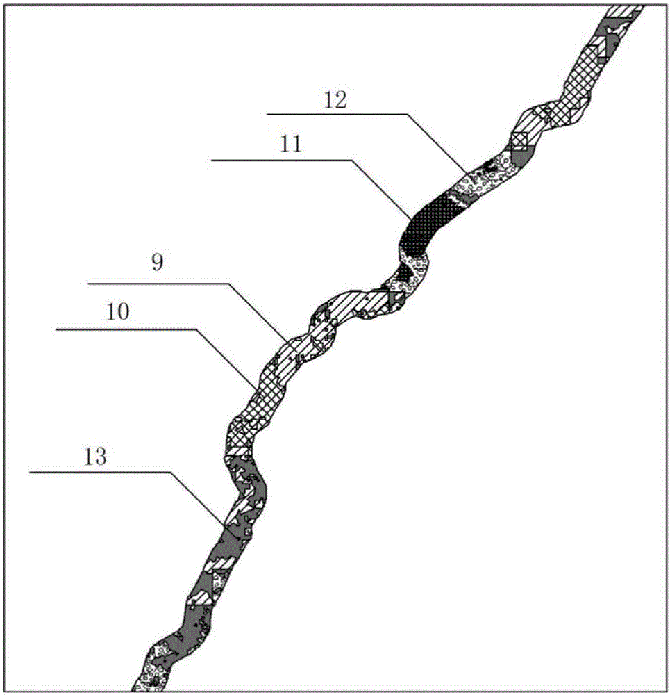
[0271] For slopes dominated by wind erosion and weaker in water erosion, checkerboard arrangement is adopted, see Figure 12 , among the figure 9 is the road surface, 10 is the road shoulder, 11 is the groove line, 12 is the planting soil, and 13 is the turf block. The slope ratio of these slopes is 1:2, and the slope height is less than 3m. Backfill the soil between the turf blocks 13 and sow grass seeds, that is, use the turf blocks 13 to carry out checkerboard planting on the slope, that is, the upper shoulder position of the road side and the lower slope foot. Position, left side, right side each pave and plant a piece of grass band, and in the enclosed grid frame of enclosing synthesi...
Embodiment 3
[0276] Similarly, for this road, this embodiment adopts another method when evaluating vegetation recovery. This method not only extracts the data of three environmental factors: annual precipitation, annual average temperature, and soil type, but also extracts the data of growth factors. Seasonal and monthly average temperature, growing season precipitation, growing season soil moisture value, altitude, slope environmental factor data, and vegetation type and vegetation coverage factor data are used as evaluation indicators for vegetation restorability to construct vegetation restorability evaluation model, the specific method is as follows:
[0277] Collect vegetation, soil spatial distribution data, remote sensing data, digital elevation model and meteorological data along the highway, and generate raster data of the same size unit after digital processing and spatial correction. Apply spatial pattern analysis, multi-factor superposition analysis, qualitative and quantitativ...
PUM
 Abstract
Description
Claims
Application Information
 - R&D
- Intellectual Property
- Life Sciences
- Materials
- Tech Scout
- Unparalleled Data Quality
- Higher Quality Content
- 60% Fewer Hallucinations
Browse by: Latest US Patents, China's latest patents, Technical Efficacy Thesaurus, Application Domain, Technology Topic, Popular Technical Reports.
© 2025 PatSnap. All rights reserved.Legal|Privacy policy|Modern Slavery Act Transparency Statement|Sitemap|About US| Contact US: help@patsnap.com


