

Annual regional vegetation coverage calculation method
A technology of vegetation coverage and calculation method, which is applied in the field of annual regional vegetation coverage calculation, and can solve problems such as differences in growth conditions
- Summary
- Abstract
- Description
- Claims
- Application Information
AI Technical Summary
Problems solved by technology
Method used
Image

Examples
Embodiment Construction
[0067] In order to make the object, technical solution and advantages of the present invention clearer, the present invention will be further described in detail below in conjunction with the accompanying drawings and embodiments. It should be understood that the specific embodiments described here are only used to explain the present invention, not to limit the present invention.
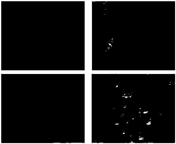
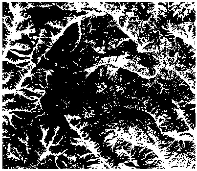
[0068] In this embodiment, the remote sensing images of a certain area in the same year and in four different time phases are taken as an example for illustration.
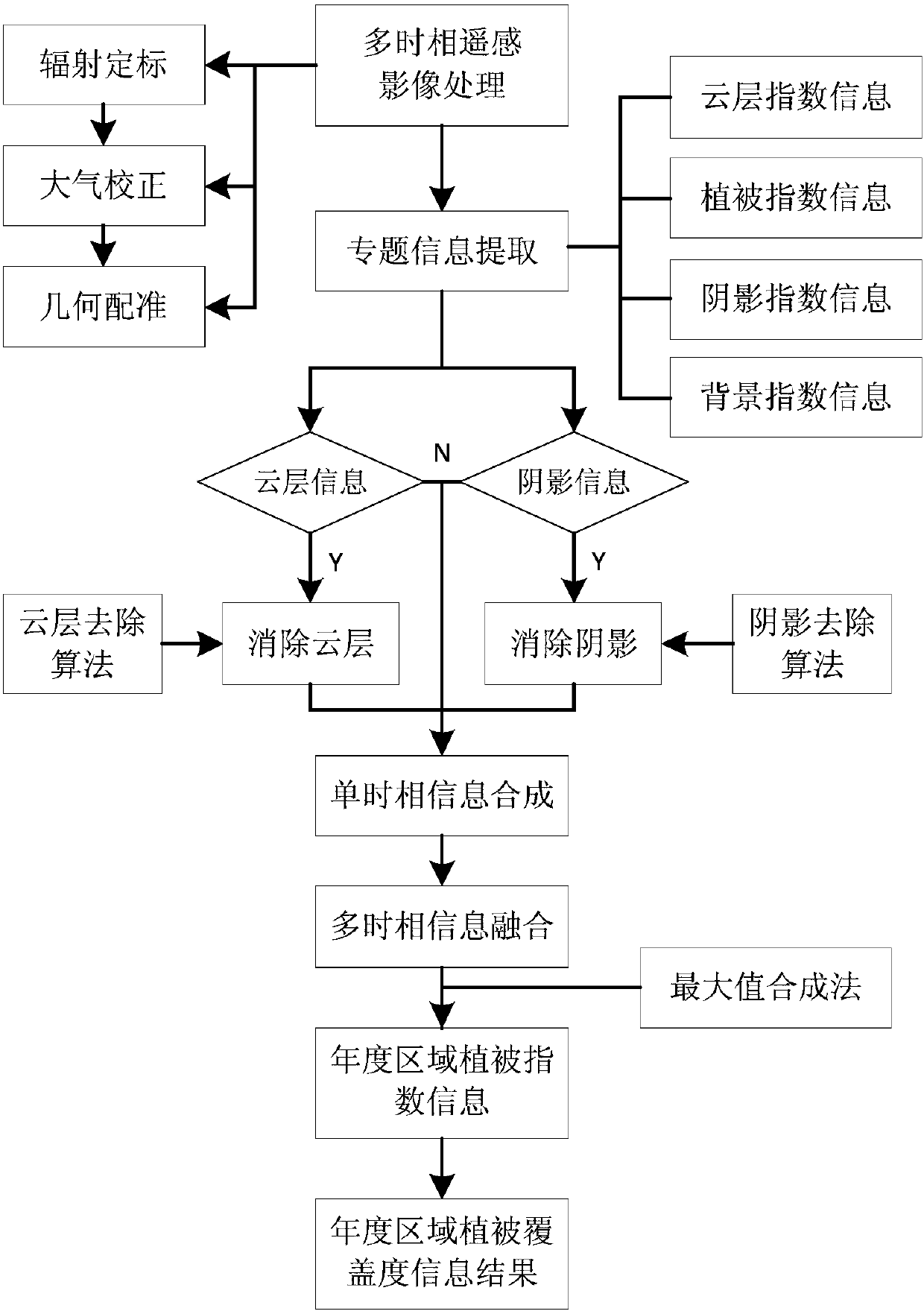
[0069] refer to figure 1 , figure 1 It is a schematic flow chart of a method for calculating annual regional vegetation coverage of the present invention, comprising the following steps:
[0070] S1, collect all remote sensing images in the same annual growing season in the region, perform precise radiometric calibration and atmospheric radiation correction on them, and obtain remote sensing image results that can represent the true ...
PUM
 Abstract
Description
Claims
Application Information