A Method of Inverting Forest Aboveground Biomass by Combining Three Types of Data Sources
A joint inversion, biomass technology, applied in image data processing, complex mathematical operations, details involving image stitching, etc. Lidar characteristics and other issues, to achieve the effect of enhancing capability and accuracy, suppressing high forest coverage, and easy method transplantation
- Summary
- Abstract
- Description
- Claims
- Application Information
AI Technical Summary
Problems solved by technology
Method used
Image
Examples
Embodiment 1
[0052] The experimental area of this example is located in the state-run Yushan Forest Farm (120.70°E, 31.67°N) in Changshu City, Jiangsu Province, with an area of about 1422hm 2 , the range of elevation change is 2-261m. The experimental area is located in a subtropical monsoon climate with an annual precipitation of 1062.5mm. Its forest type belongs to subtropical secondary mixed forest, which can be subdivided into coniferous forest, broad-leaved forest and mixed forest. Among them, the main coniferous and broad-leaved deciduous tree species include Pinus massoniana, Quercus acutissima, Liquidambar formosana and Chestnut (Castanea mollissima), and some evergreen broad-leaved tree species.
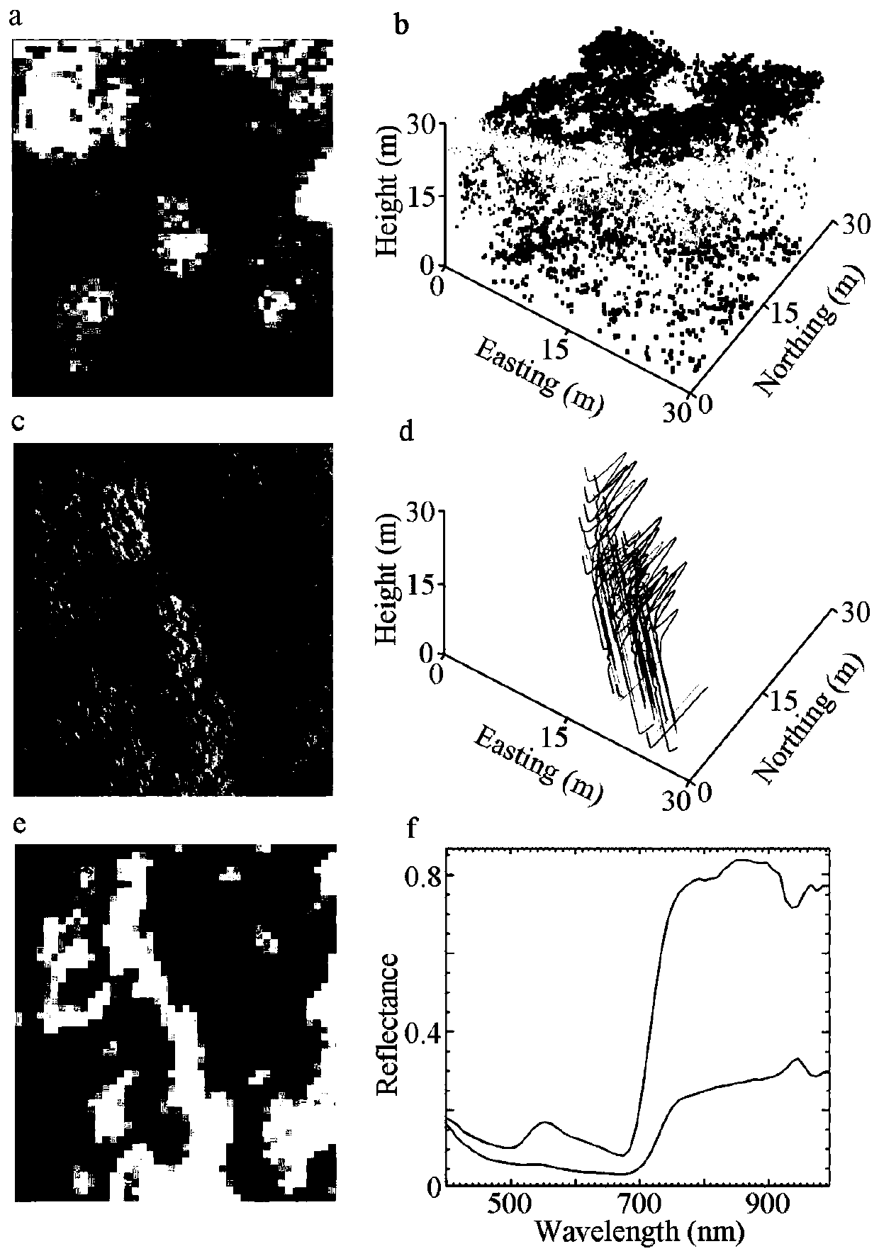
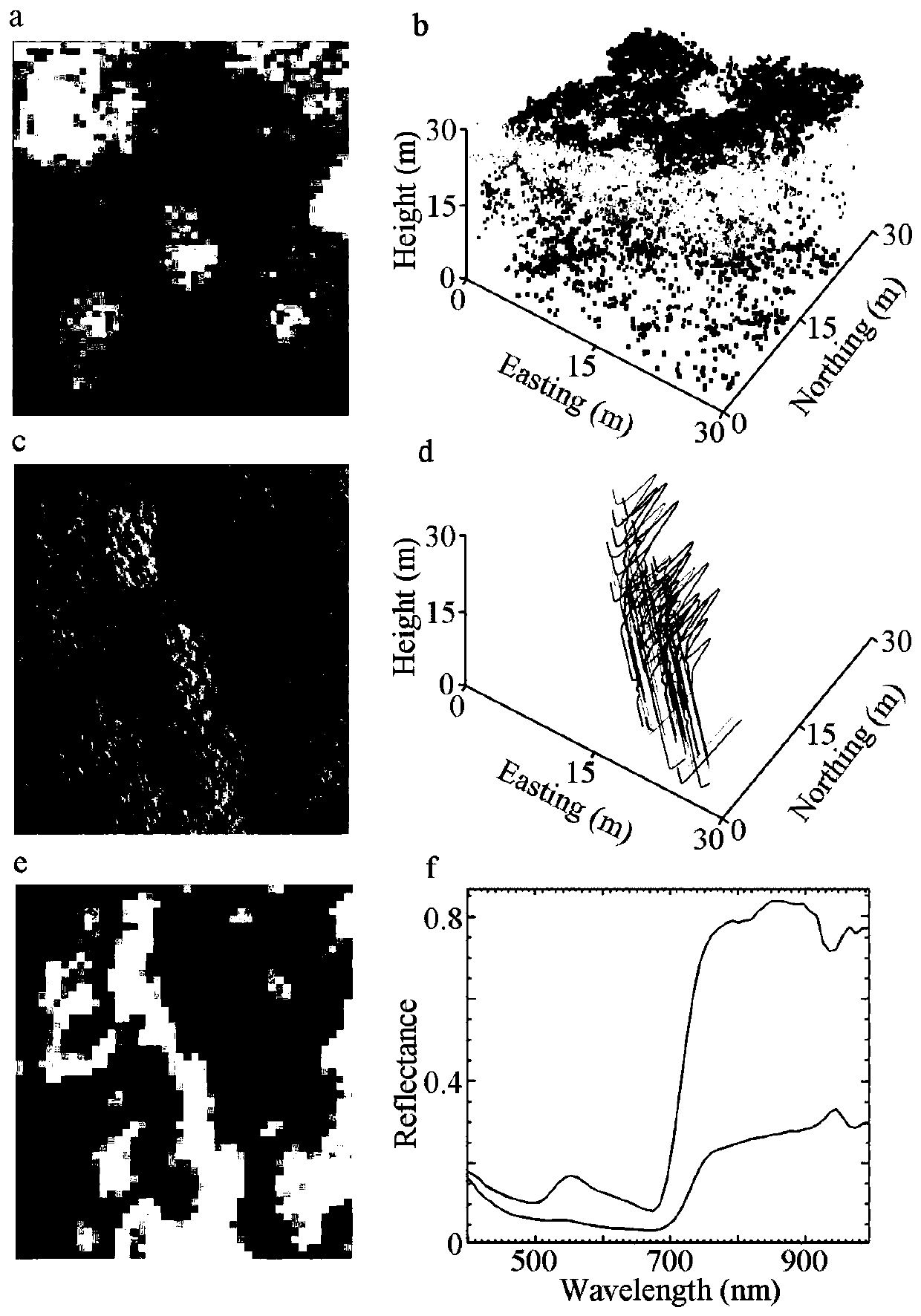
[0053] Collect high-resolution CCD images, hyperspectral images and lidar point cloud data with the help of aviation aircraft. For specific data, see figure 1 .
[0054] exist figure 1 Middle a: canopy digital surface model extracted from lidar data; b: side view of sample site c...
PUM
 Abstract
Description
Claims
Application Information
 - R&D
- Intellectual Property
- Life Sciences
- Materials
- Tech Scout
- Unparalleled Data Quality
- Higher Quality Content
- 60% Fewer Hallucinations
Browse by: Latest US Patents, China's latest patents, Technical Efficacy Thesaurus, Application Domain, Technology Topic, Popular Technical Reports.
© 2025 PatSnap. All rights reserved.Legal|Privacy policy|Modern Slavery Act Transparency Statement|Sitemap|About US| Contact US: help@patsnap.com


