Winter wheat yield prediction method based on unmanned aerial vehicle imaging hyperspectral remote sensing
A technology for hyperspectral remote sensing and yield prediction, applied in color/spectral characteristic measurement, measuring devices, material analysis through optical means, etc., can solve problems such as model difference and complexity, and achieve accurate results, simple operation, and simple calculation Effect
- Summary
- Abstract
- Description
- Claims
- Application Information
AI Technical Summary
Problems solved by technology
Method used
Image
Examples
Embodiment approach
[0063] According to a preferred embodiment of the present invention, the training samples of the yield prediction model come from the simulation results of the CERES-Wheat winter wheat growth model. The CERES-Wheat model is currently one of the most widely used crop growth model systems, which can simulate basic physiological and ecological processes such as crop vegetative growth and reproductive growth and development, crop photosynthesis, respiration, dry matter distribution, plant growth, and aging. Finally, the simulation of crop yield is realized.
[0064] The CERES-Wheat model input parameters of the present invention include meteorological parameters, soil data, variety information and field management data. Among them, the meteorological data include the highest temperature, the lowest temperature, and precipitation, etc., and the soil data include soil texture, capacity, PH value, and soil moisture characteristics. Management data includes irrigation information, fe...
Embodiment
[0081] The present invention is further described below through specific examples, and these embodiments are only limited to illustrate the present invention, and are not used to limit the scope of the present invention.
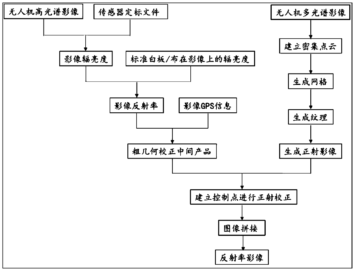
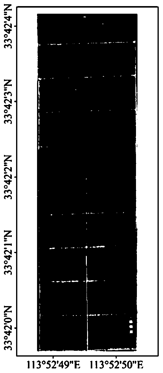
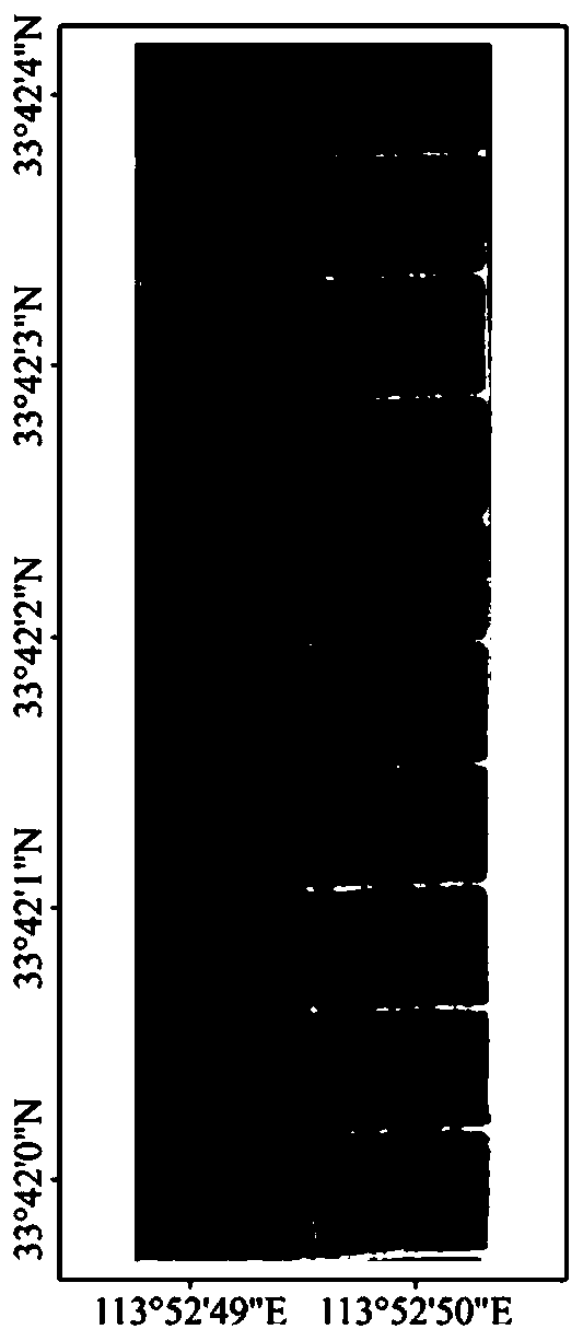
[0082] Take the national high-quality wheat production base in Yancheng District, Luohe City, Henan Province in 2019 as an example. The DJI M600 Pro drone platform is used, and the sensor Pika L hyperspectral imager equipped with it has 300 bands and a band range of 400nm to 1000nm. The sensor adopts push-broom imaging. The flying height of the UAV is set to 100m, and the flying speed is 3m / s. A standard whiteboard and four 1.2m×1.2m standard reflectivity targets with reflectivity of 5%, 20%, 40% and 60% are arranged on the ground. Use Resonon software to perform radiometric calibration and rough geometric correction processing on the original hyperspectral image of the UAV to generate intermediate products, use Agisoft Photoscan software to perform short t...
PUM
 Abstract
Description
Claims
Application Information
 - R&D
- Intellectual Property
- Life Sciences
- Materials
- Tech Scout
- Unparalleled Data Quality
- Higher Quality Content
- 60% Fewer Hallucinations
Browse by: Latest US Patents, China's latest patents, Technical Efficacy Thesaurus, Application Domain, Technology Topic, Popular Technical Reports.
© 2025 PatSnap. All rights reserved.Legal|Privacy policy|Modern Slavery Act Transparency Statement|Sitemap|About US| Contact US: help@patsnap.com


