
Position location using digital audio broadcast signals

a technology of digital audio broadcast and position determination, applied in direction finders using radio waves, navigation instruments, instruments, etc., can solve the problems of marginally useful or not useful signals, less effective gps, and marginally useful signals, and achieve minimal processing requirements, reduce the effect of multipath effects, and improve the effect of geometry

Inactive Publication Date: 2005-01-20
TRUE POSITION INC
View PDF35 Cites 35 Cited by
  • Summary
  • Abstract
  • Description
  • Claims
  • Application Information

AI Technical Summary

Benefits of technology

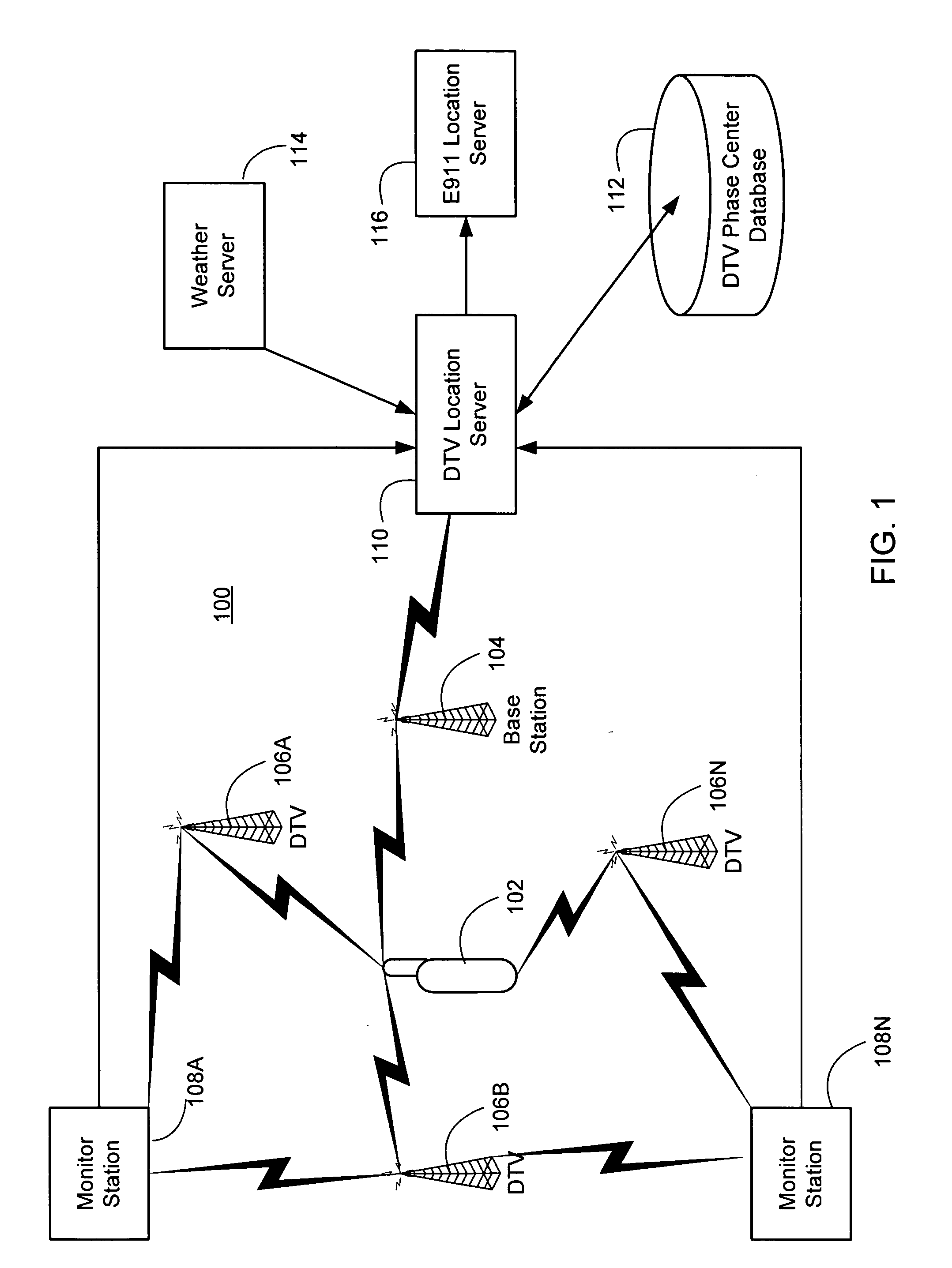
The DTV signal has a power advantage over GPS of more than 50 dB, and substantially superior geometry to that which a satellite system could provide, thereby permitting position location even in the presence of blockage and indoors. The DTV signal has roughly eight times the bandwidth of GPS, thereby minimizing the effects of multipath. Due to the high power and sparse frequency components of the DTV signal used for ranging, the processing requirements are minimal. Implementations of the present invention accommodate far cheaper, lower-speed, and lower-power devices than a GPS technique would require.
In contrast to satellite systems such as GPS, the range between the DTV transmitters and the user terminals changes very slowly. Therefore the DTV signal is not significantly affected by Doppler effects. This permits the signal to be integrated for a long period of time, resulting in very efficient signal acquisition.
The frequency of the DTV signal is substantially lower that that of conventional cellular telephone systems, and so has better propagation characteristics. For example, the DTV signal experiences greater diffraction than cellular signals, and so is less affected by hills and has a larger horizon. Also, the signal has better propagation characteristics through buildings and automobiles. Further, implementations of the present invention utilize a component of the ISDB-T signal that is continuous and constitutes a large percentage of the power of the ISDB-T signal.
Unlike the terrestrial Angle-of-Arrival / Time-of-Arrival positioning systems for cellular telephones, implementations of the present invention require no change to the hardware of the cellular base station, and can achieve positioning accuracies on the order of 1 meter. When used to position cellular phones, the technique is independent of the air interface, whether GSM (global system mobile), AMPS (advanced mobile phone service), TDMA (time-division multiple access), CDMA, or the like. A wide range of UHF (ultra-high frequency) frequencies has been allocated to DTV transmitters. Consequently, there is redundancy built into the system that protects against deep fades on particular frequencies due to absorption, multipath and other attenuating effects.

Problems solved by technology

However in some situations, GPS is less effective.
Thus the signal is marginally useful or not useful at all in the presence of blockage or inside a building.

Method used


Image

  • Position location using digital audio broadcast signals
  • Position location using digital audio broadcast signals
  • Position location using digital audio broadcast signals

Examples


Embodiment Construction

Introduction

Digital television (DTV) is growing in popularity. DTV was first implemented in the United States in 1998. As of the end of 2000, 167 stations were on the air broadcasting the DTV signal following the ATSC digital TV standard. As of Feb. 28 2001, approximately 1200 DTV construction permits had been acted on by the FCC. According to the FCC's objective, all television transmission will soon be digital, and analog signals will be eliminated. Public broadcasting stations must be digital by May 1, 2002 in order to retain their licenses. Private stations must be digital by May 1, 2003. Over 1600 DTV transmitters are expected in the United States. Other regions are implementing similar DTV systems. The European DTV standard called Digital Video Broadcasting (DVB) is the most widely accepted in the world. The DVB terrestrial standard version is denoted DVB-T. The Japanese system is a variation of DVB. The Japan Broadcasting Corp. (NHK) has defined a terrestrial DTV signal fo...


PUM


Abstract

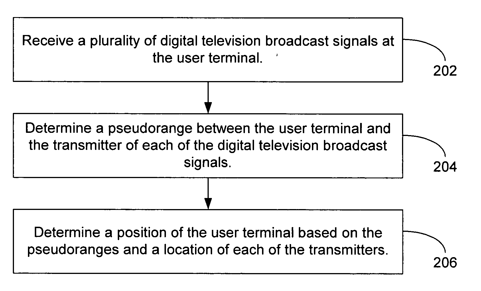
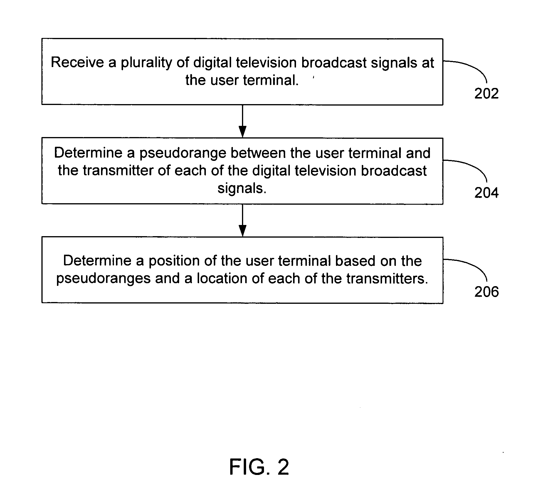
A method, apparatus, and computer-readable media for determining the position of a user terminal comprises receiving, at the user terminal, a digital audio broadcast signal; and determining a pseudo-range between the user terminal and a transmitter of the digital audio broadcast signal based on a known component of the digital audio broadcast signal; wherein the position of the user terminal is determined based on the pseudo-range between the user terminal and the transmitter of the digital audio broadcast signal and a location of the transmitter of the digital audio broadcast signal.

Description

BACKGROUND The present invention relates generally to position determination, and particularly to position determination using digital television (DTV) signals. There have long been methods of two-dimensional latitude / longitude position location systems using radio signals. In wide usage have been terrestrial systems such as Loran C and Omega, and a satellite-based system known as Transit. Another satellite-based system enjoying increased popularity is the Global Positioning System (GPS). Initially devised in 1974, GPS is widely used for position location, navigation, survey, and time transfer. The GPS system is based on a constellation of 24 on-orbit satellites in sub-synchronous 12 hour orbits. Each satellite carries a precision clock and transmits a pseudo-noise signal, which can be precisely tracked to determine pseudo-range. By tracking 4 or more satellites, one can determine precise position in three dimensions in real time, world-wide. More details are provided in B. W. Pa...

Claims


Application Information

Patent Timeline
IPC IPC(8): G01S1/00G01S5/00G01S19/46G01S5/02G01S5/14
CPCA63F2300/205H04N21/8126G01S5/0036G01S5/0054G01S5/0081G01S5/021G01S5/0215G01S5/0221G01S5/0226G01S5/0236G01S5/0268G01S5/14G01S19/46H04N21/25841H04N21/2668H04N21/41422H04N21/615G01C21/206G01S5/145G01S5/0218G01S5/02216
Inventor OMURA, JIMMY K.SPILKER, JAMES J. JR.
Owner TRUE POSITION INC
Learn More