System and method for significant dust detection and enhancement of dust images over land and ocean

a technology of significant dust and enhancement, applied in the field of significant dust detection and enhancement of dust images over land and ocean, can solve the problem that the simple ocean component described above is insufficient for identifying dust over land

Inactive Publication Date: 2005-01-20
THE UNITED STATES OF AMERICA AS REPRESENTED BY THE SECRETARY OF THE NAVY
View PDF4 Cites 219 Cited by
  • Summary
  • Abstract
  • Description
  • Claims
  • Application Information

AI Technical Summary

Benefits of technology

The new dust enhancement technique is in fact a combination of two independent enhancement algorithms—one applicable to water backgrounds and the other to land backgrounds. It is based physically on the premise that silicate aerosols (e.g., mineral dust common to desert sandstorms) preferentially absorb blue light compared to green and red light, whereas cloud particles (liquid or ice) are more or less non-absorbing across this region and reflect all three components strongly. Therefore, a spectral difference between red and blue light will be much larger for dust than for clouds. In this way, data from a radiometer with spectral resolution capable of measuring independently the red, green, and blue components of reflected solar energy can be combined to further enhance and decouple the dust signal from clouds. Over water, the spectral difference is normalized by the magnitude of the reflectance such that additional sensitivity to thin (low reflectance) dust is achieved. The approach requires correction of the multi-channel data to remove scattering contamination from the molecular atmosphere prior to computing the enhancement.

Problems solved by technology

Because the land background possesses similar spectral properties to the airborne dust at visible / shortwave-infrared wavelengths, the simple ocean-component described above is insufficient for identifying dust over land.

Method used


Image

  • System and method for significant dust detection and enhancement of dust images over land and ocean
  • System and method for significant dust detection and enhancement of dust images over land and ocean
  • System and method for significant dust detection and enhancement of dust images over land and ocean

Examples


Embodiment Construction

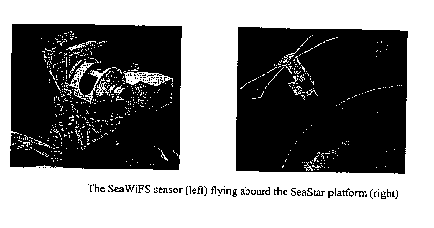
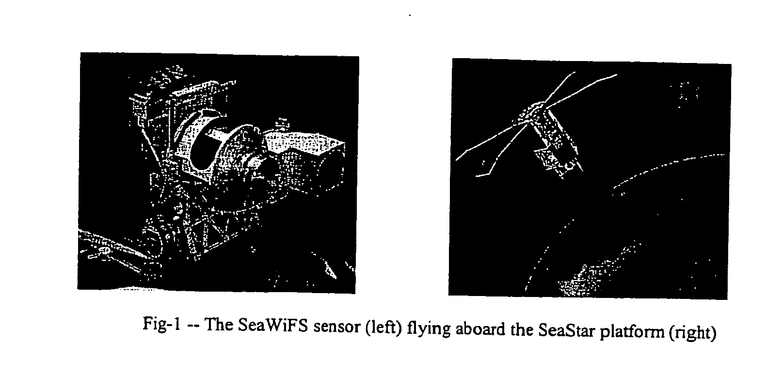
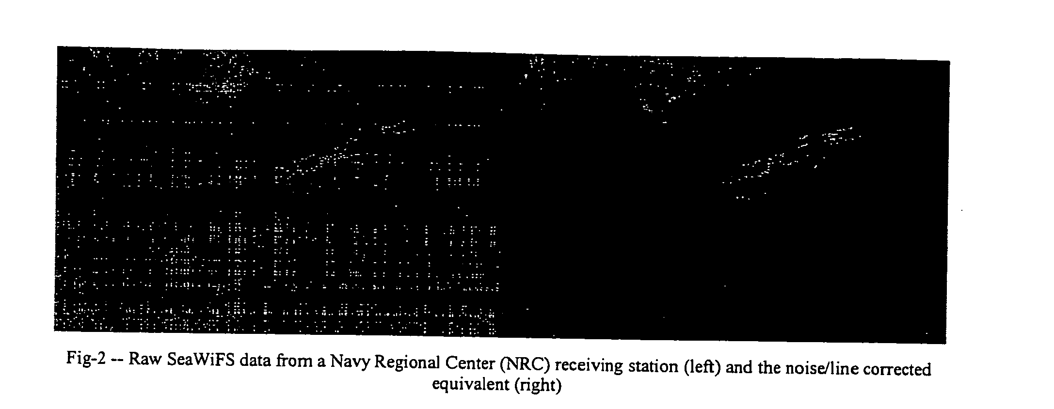
The Satellite Meteorological Applications Section at the Naval Research Laboratory (NRL) in Monterey has developed true color, vegetation enhancement, and airborne sand / dust enhancement processing capabilities for the Sea-viewing Wide Field of View Sensor (SeaWiFS) instrument. These products are made in near real time (typically 60 to 90 minute latency from time of ingest at the receiving stations) using telemetries captured at Navy Regional Centers (NRCs) located in Spain (Rota), Bahrain, and Japan (Yokosuka), and populate a password-protected website for several predefined sectors within the general coverage regions of these centers. Presented here is an overview of the SeaWiFS sensor and its capabilities / limitations, a summary of the procedure, and the current processing architecture. Examples drawn from the archived database (automated processing of these data commenced Aug. 8, 2001) are presented to illustrate their quality and potential operational utility.

Platform / Instrume...


PUM


Abstract

A new processing capability for dust enhancement over land or water using image data from the Sea-viewing Wide Field of View Sensor (SeaWiFS) has been developed for Naval meteorology / oceanography (MetOc) operations support. The data are captured via direct broadcast high-resolution picture transmission (HRPT) at Navy Regional Centers in Rota, Bahrain, and Yokosuka, and processed at the Naval Research Laboratory in Monterey. The raw data are calibrated, corrected for missing lines and clutter, corrected for molecular scatter contamination, and enhanced through multispectral combination to yield value added products. The processing has been automated completely such that products, generated upon receipt of data, are hosted upon a password protected website typically 60 to 90 minutes from time of initial capture. This invention summarizes the SeaWiFS instrument capabilities, the protocol followed for automated near real-time processing, a physical basis for the NRL enhancements, and specific examples of the products with extension to over-land dust enhancement as enabled by MODIS. It closes with a glimpse of the potential utility of these products from the perspective of the warfighter.

Description

BACKGROUND OF THE INVENTION 1. Field of the Invention This invention deals generally with digital enhancement of environmental satellite imagery of airborne dust layers over both ocean and land backgrounds. 2. Description of the Related Prior Art The detection and tracking of airborne dust from satellite has been of long-standing interest to both the Navy and academia alike, and there is no shortage of papers treating the subject (e.g., Shenk, W. E., and R. J. Curran, 1974: The detection of dust storms over land and water with satellite visible and infrared measurements, Mon. Weather Rev., 102, 830-837. Carlson, T. N., 1978: Atmospheric turbidity in Saharan dust outbreaks as determined by analyses of satellite brightness data, Mon. Weather Rev., 107, 322-335. Legrand, M., M. Desbois, and K. Vovor, 1987: Satellite detection of Saharan dust: optimized imaging during nighttime, J. Climate, 1, 256-264. Jankowiak, I., and D. Tanre, 1992: Satellite climatology of Saharan dust outbreak...

Claims


Application Information

Patent Timeline
Patent Type & Authority Applications(United States)
IPC IPC(8): G01V5/00G01V5/04G01W1/00H01J40/14
CPCG01W1/00Y02A90/10
Inventor MILLER, STEVEN D.
Owner THE UNITED STATES OF AMERICA AS REPRESENTED BY THE SECRETARY OF THE NAVY
Why Eureka
Try Eureka