Shallow drilling hazards in
carbonate formations are well known to present potential problems in exploration and developmental drilling and can represent a
significant risk to the exploitation of hydrocarbons.
If a
drill bit and
drill string encounter such a
karst feature, there is an immediate loss of circulating fluid, and there also can be a bit drop through the
void space of the karst.
This can result in the total loss of the well at great expense.
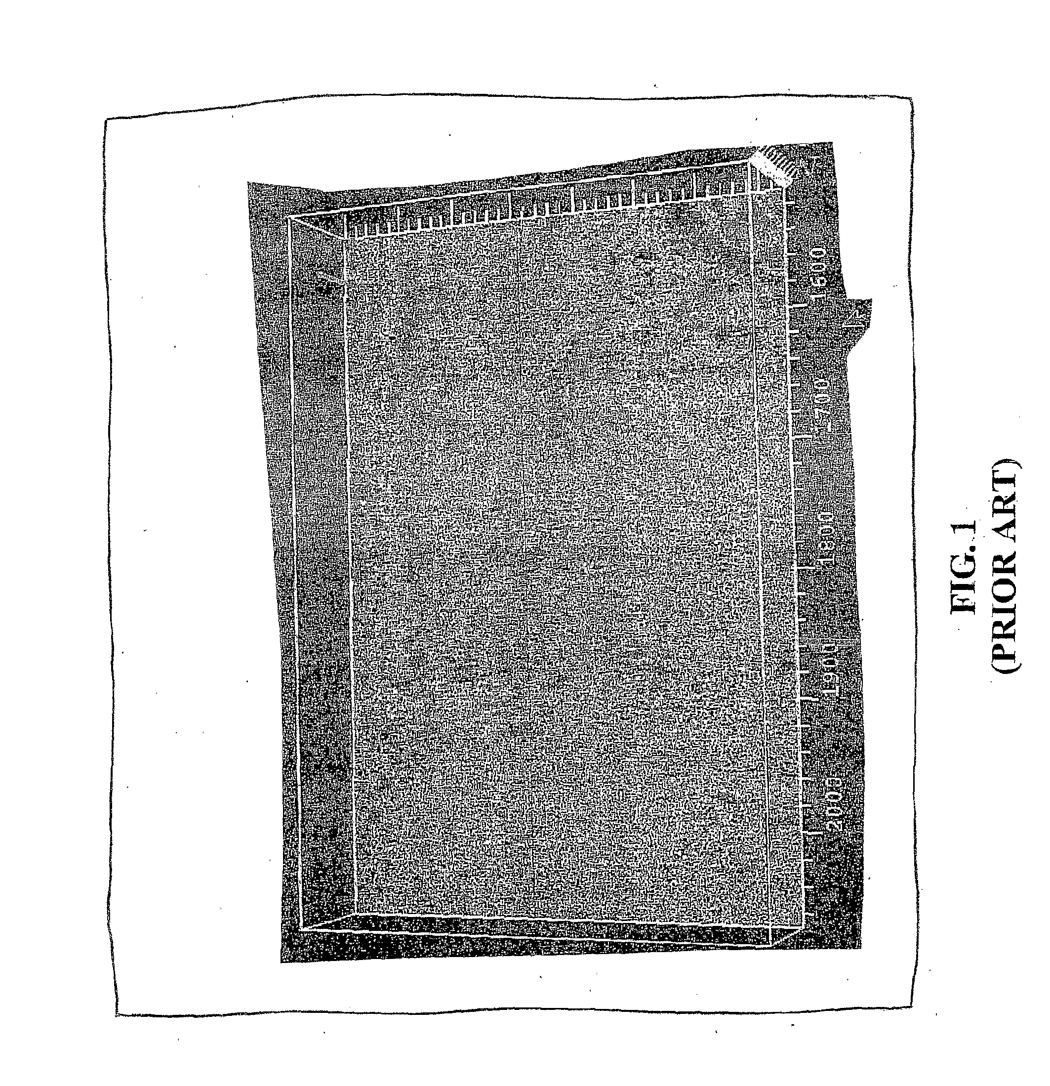
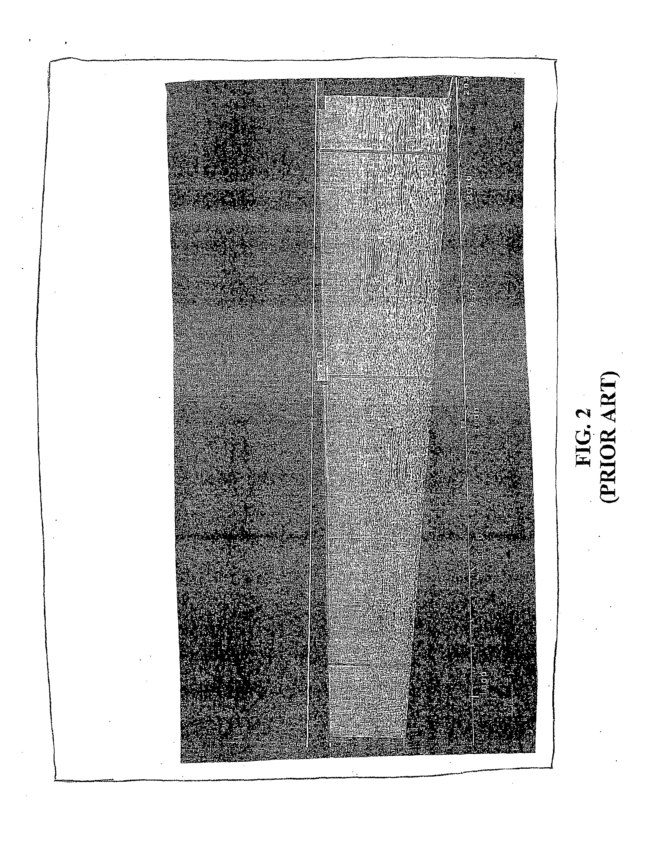
However, such displayed reflection data can show little continuity and so cannot aid in detecting shallow drilling hazards.
These hazards to drilling are very time-consuming to
traverse with the
drill bit and therefore expensive, and represent a potential danger to drilling crews.
Shallow subsurface voids and the potential for mudslides can endanger the drilling operation.
Further problems can be caused by shipwrecks and other man-made obstructions.
It is also possible for localized zones of
natural gas under pressure to exist in very shallow rock strata that would
pose both a drilling risk of blowout, as well as a
structural risk to the platform.
Should failure occur, it would result in the potential loss of the platform and associated equipment, risk the lives of operating personnel and the loss of millions of dollars in
capital investment.
The environmental risks are obvious and significant.
The results have been limited or poor.
As shown in FIG. 2, the use of conventional seismic reflection data makes it quite impossible to accurately detect any
lost circulation, as the
noise of the data overwhelms the few traces occupying each bin of data.
While this reflection approach will generally work in a marine environment, it will not work in a high-
noise land setting.
The SWD method suffers the drawback that the well is already positioned and drilling is underway, so that the well might be placed in a disadvantageous location, without any practical alternative but to keep drilling.
To date, this method has not been entirely successful.
The reason for the lack of success is the relatively poor sampling of reflections in the very shallow portion of the seismic
prestack record.
Absent a very high-resolution survey, which for large drilling programs would be prohibitive in terms of time and cost, there is no apparent method using reflection data that can be improved sufficiently to reliably identify the shallow hazards.
Other proposals and efforts to employ different types of data, such as ground-penetrating
radar (GPR) have not proved practical, since penetration into the karsted subsurface is inadequate.
While useful in marine environments, it is not useful in a land setting.
A survey of the
patent literature has not revealed a satisfactory solution to the problem.
In the case of larger karsts or as a result of increases in
overburden forces, these voids cannot support the weight of the rock strata above and they collapse on themselves.
However, when the refracted waveform encounters a void or a heterogeneity in its path, the waveform is disturbed and the
resultant amplitude and / or frequency of the wave returned to the receivers is abnormal.
These include, but are not limited to, the loss of the borehole, damage to well structures and equipment, blow-outs, environmental damage and lost
drilling fluid circulation.
Lost Circulation of Drilling Fluids A. Any sudden loss of the circulating
drilling fluid incurs both a monetary loss and an increase in mechanical risk to the equipment.
Unexpected
Drill Bit Drops A. A drop through a void or karst can result in mechanical damage to the
drill string and bit.
B. The
drill string can become stuck in the hole, resulting in the loss of the borehole, in which case the entire well must be redrilled at enormous costs in time and money.
Personnel Safety Issues A. If shallow karsted zones are unknown to drilling personnel, a bit drop can be hazardous to workers on the drilling platform floor.
B. Under some circumstances, the rig itself can be damaged if the drill string drops through the drilling floor.
The problem with a land environment, particularly one characterized by shallow carbonates and anhydrites, is that using reflection data will not work as it does in the marine environment.
These surveys are therefore not sampled adequately in the
spatial domain closest to the earth's surface.
The problem is that, in these shallow zones, there is usually inadequate sampling in offset to statistically cancel out the
noise.
These three-dimensional surveys are not designed for shallow target resolution.

